- HOME
- NEWS
- EVENTS
- INDUSTRY RESOURCES
In The Orchard
- Biology
- Canopy management
- Environment
- Growing guides & manuals
- Harvest, post-harvest handling & quality
- Irrigation & drainage management
- Nutrition & soil health
- Orchard floor management
- Pests & diseases & crop protection
- Pollination
- Productivity, business & finance
- Varieties, propagation & new plantings
This is a search area with something cool written - SUPPLIERS
- FACTS & FIGURES
- LEVY FUNDED PROJECTS
- CONTACT US
- SHOP
- ABOUT
- MEMBERSHIP
- CLASSIFIEDS
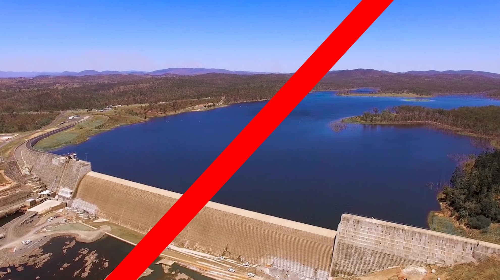
Paradise dam - we need your help
20 December 2019
Together with BFVG and other affected organisations, the AMS
is mounting a campaign to ensure that the full capacity of Paradise Dam is
replaced, either by repair of the existing dam wall or by the construction of a
replacement storage that can service the current scheme irrigators.
One of the key parts of this campaign is knowing accurately
how many hectares of macadamias there are in the region and what additional
plantings are planned.
TheAustralian Tree Crop Rapid Response Map (last updated in 2017) is being
updated at larger scale (1ha) and aims to include the many newly established
orchards throughout the Bundaberg region.
Please click on the link to help “improve the map, get the
app”
Read about the app then open the survey part of the link at
the bottom, and follow these simple steps:
Add location (at the desktop) by either typing in your orchard
address in the search box or on a smart
device (phone) using your GPS (the map will locate to where you are)and
position the pin on the orchard . Select
“macadamias” as the land use, you can also include a photo if you wish (go to
box at bottom that says “Image”, tap on it, take a photo; The photo adds
certainty and gives an indication of
age. To finish the survey press submit.
It would be really helpful if you could repeat that
process for each orchard you own or manage AND for any land you intend to plant
to macadamias in the next 5 years follow the same process but add text to that effect in the comments box
e.g “macadamias in 2 or 3 years”.
The location, the crop type and the photo will then go off
to the University of New England where it will be interpreted and compiled into
a map of all the Bundaberg orchards.
Thank you for helping the AMS protect the irrigation infrastructure of Bundaberg.

Our Events
Proudly Supported By

This website has been partly funded by Hort Innovation, using the macadamia research and development levy and contributions from the Australian Government.


